October 24, 2009
Just off the Mississippi Gulf Coast is a chain of barrier islands that are about 10 miles off-shore. The islands are quite small, the widest ones being only about 2000 feet across and they are each about 1 to 2 miles long. Today, Michelle and I decided to go island hopping in our Bearhawk to see what they look like from the air. We had been to the largest of these islands "Ship Island" on a boat a couple of times but had never seen these sugar white sand beaches from the air. So we strapped on a couple of inflatable life preserver vests and took off in the Bearhawk headed south ast, just south of Ocean Springs, MS. Once out over the water, we descended to about 200 feet off the water and went exploring.
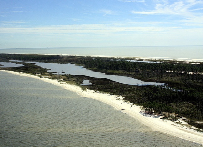
The first barrier island we came to was Horn Island, just south of Ocean
Springs and Gautier, MS:
As you can see, these islands are quite small but pretty. A lot of people bring their personal boats out here and grill and party on these islands during the summer. Some do some fishing, others just sunbathe.
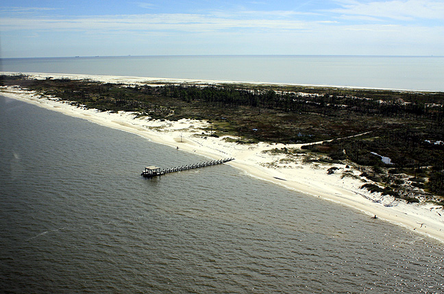
Someone even built a dock out here. The legend is there was previously
some houses on these islands but the hurricanes blew them
away:
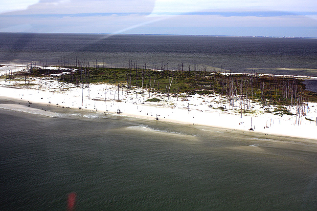
Eastern end of Horn
Island:
The next island we came to was "Ship Island" which is due south of Biloxi,
MS. On the south side of Ship Island is a little hotdog place and you can
rent beach chairs and
stuff:
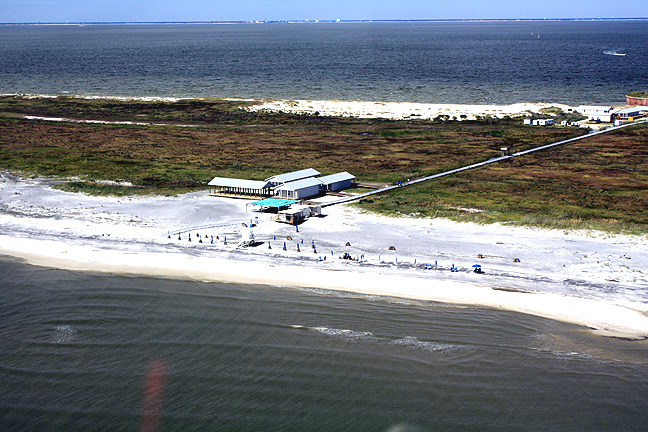
If you look carefully in the background you just make out the buildings
(Hotel Resorts and Casinos) in Biloxi on the horizon.
As we circled Ship Island and came around the north side I was surprised
to see that Fort Massachusetts ( a pre-civil war fortification) is now right
on the water:
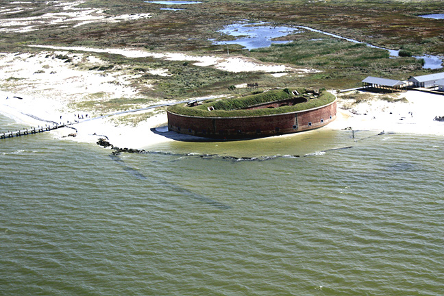
This fort used to be about mid-island and you had to walk to it. Hurricane
Katrina apparently eroded the island enough to make it beach front now.
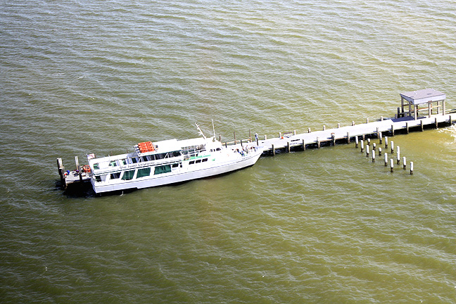
The only mode of transportation to the island is by boat. This is a
the ferry boat that runs daily from Gulfport's small craft
harbor:
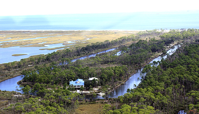
The next Island in the chain is "Cat Island" which is due south of Gulfport,
MS. I was surprised to see that someone had actually dug a channel
into the middle of Cat island and built a fishing house out there complete
with a boat dock. I would have never known this existed if I hadn't
flown over it::
As we headed a little further southeast, we started getting into some swampy
looking island areas that I couldn't
identify:
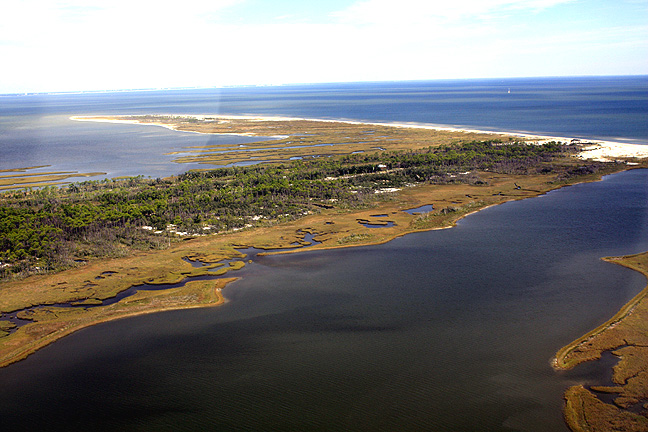
I zoomed out on my GPS map to get my bearings and saw that we were due south
of New Orleans and looking at Louisiana swamp islands.
We saw a lot of fishing boats and pleasure boats and everyone seemed to enjoy seeing us fly by and wave hello to them. We stayed about 200 to 300 feet off the water for the entire trip and it was a blast! For those of you still building, keep at it - its all worth it!